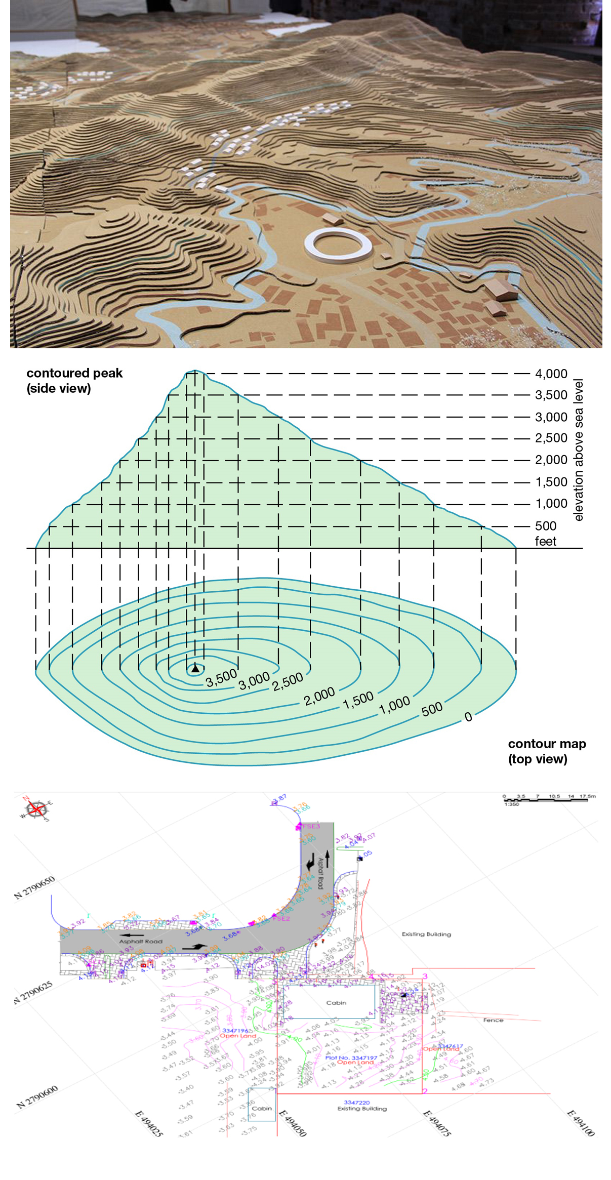
Topographical Survey
HELPING HAND LLC, has a topographical survey with an accurate depiction of a site property, area of land, defined boundary which is measurement and comprehensive conforming to the spatial considerations and therefore the summary of the on-site data capture processes. Falcon survey is operated across UAE including Dubai, Abu Dhabi, and Sharjah – providing dedicated and expert professionals in topographical survey as insights of topological professionals are essential in this type – it is a detailed process that requires ensuring the accuracy of all of the reports provided.
- Site entry points for vehicle and pedestrian.
- Site boundary conditions (Eg. Wall/fence) with top of the level indicated.
- Location of all existing utilities, which are visible to above the ground level.
- Existing Services will be identified using Ground Markers.
- Existing building lines / Property Boundaries
- Boundary features (fences, gates, walls, hedges, etc.).
- Pavements curb and road levels and lines within the plot boundary will be indicated.
- Description of ground surfaces (Interlock, grassy, rocky, sandy, etc.).
- All Existing trees and planting
- Retaining Walls (description). Sidewalks, Driveways, Curbs, etc.
- Location of electric poles (MV, LV and ELV networks) visible to above the ground level
- Names of streets and road ways abutting or adjoining the project area