Mobile Mapping
What is Mobile Mapping?
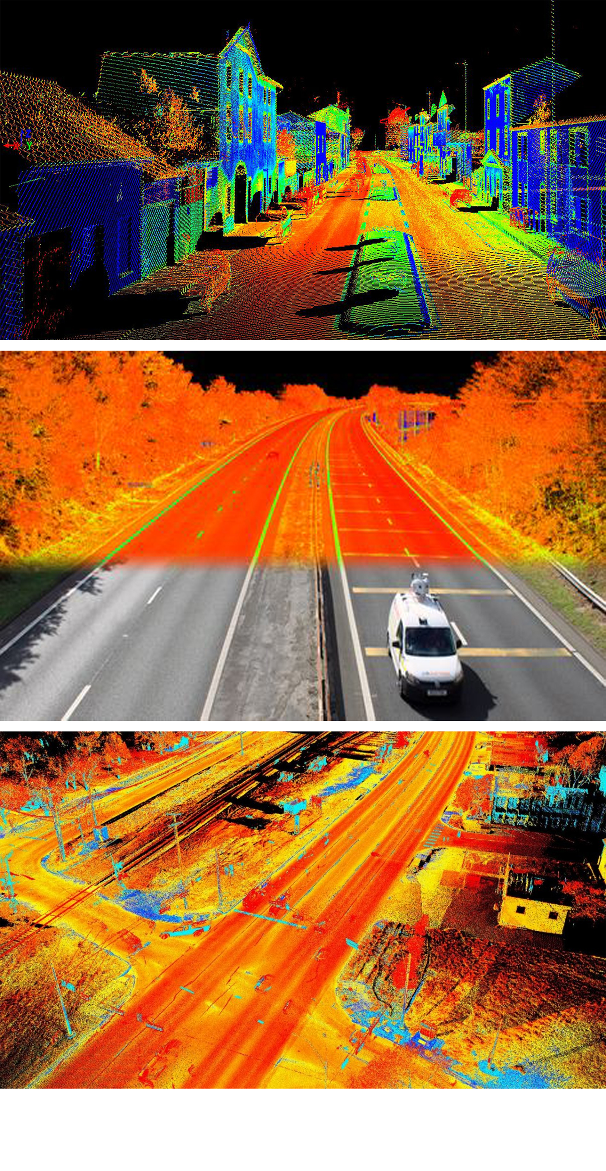
With Mobile Mapping Services, you can collect 3D geospatial data from any moving vehicle whether on land, sea or rail. This data is collected via the vehicle mounted laser scanners, sensors and cameras and then registered and processed at our head office.
All collected data is sure to be accurate to a survey grade level and can be delivered in various industry-standard formats such as point cloud, AutoCAD topographic survey, GIS, REVIT, etc.
Applications for mobile mapping include:
- Topographical surveying, elevations & DTMs (digital terrain models)
- GIS / asset mapping & management
- Building information modelling for AEC & infrastructure
- Street scene & rights for light mapping
- Condition assessment
- Coastal mapping & monitoring
- Open-Cast Mines Volumetric Surveys
- Overhead Power Line Surveys
Uses of this mapping solution are:
- Capture vast amounts of survey grade data and imagery over complex and large projects in a short period of time
- Remove the need for traffic management or shut-downs to capture sites in normal use or operation
- Highly effective for linear, infrastructure, construction and hazardous environments
- Our systems can be mounted on any moving vehicle including rail, road, boats and quad-bikes
- Easily record monthly volumes or changes over time across sites using repeat mobilizations
- Extract feature survey information, 3D models or building information model outputs
- Amend or upgrade existing corridor information using the best, rapid and recent technologies tailored to your detail and accuracy requirements
- Efficiently capture and extract information for asset databases and management