OUR SERVICES
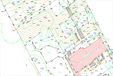
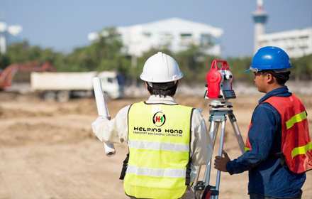
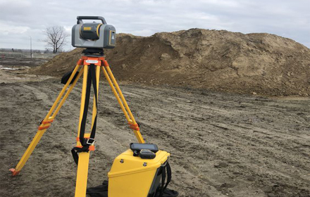
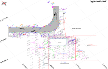
TOPOGRAPHICAL SURVEY
A topographical survey is an accurate depiction of a site which is scaled according to the spatial considerations and is the summary of on-site data ..
FOR MORE
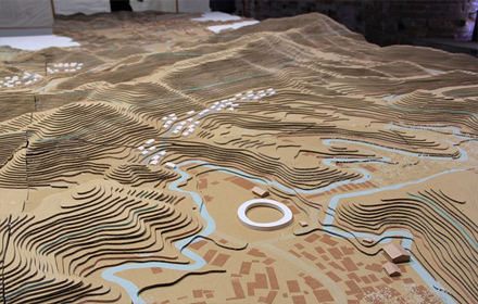
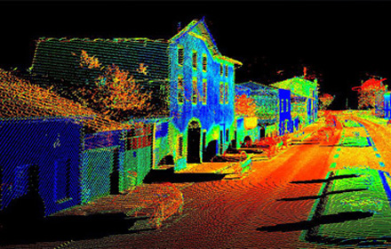
MOBILE MAPPING
Mobile Mapping is the process of collecting 3D geospatial data from a moving vehicle that can be used on Land,Road etc ..
FOR MORE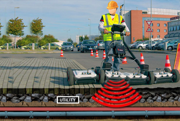
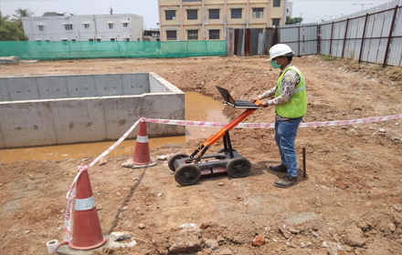
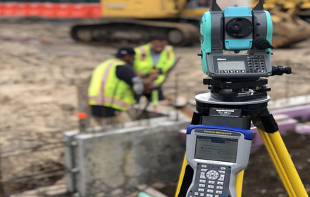
UNDERGROUND SURVEY
The failure to identify the locations of buried services before a development takes place can result in increased project costs ..
FOR MORE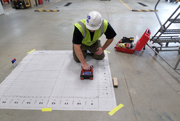
CONCRETE SCANNING
We offers 2D and 3D GPR rebar detector concrete imaging across the U.A.E.. We can provide both 2D and 3D images that are easy to interpret, allowing ..
FOR MORE